Spatial Transformation
Assignents
Presentation Infrastructure Hoogkerk

During the minor in urban regeneration, we investigated "Hoogkerk," which has been a part of the city of Groningen since 1969. My group "Blub" and I were tasked with examining the infrastructure of Hoogkerk and presenting our findings to our classmates and the teacher. Through our investigation into Hoogkerk's infrastructure, we discovered that it stands out as a self-sufficient community with a traditional character. It offers a variety of transportation options, including cars, buses, bicycles, and trains. Furthermore, it effectively caters to essential needs such as internet access, healthcare facilities, and educational institutions like primary and high schools. The charming surroundings, featuring greenery and waterways, distinguish Hoogkerk as a unique and thriving community within the city of Groningen.
If you want to see the whole presentation, click the link below.
Photo's Hoogkerk

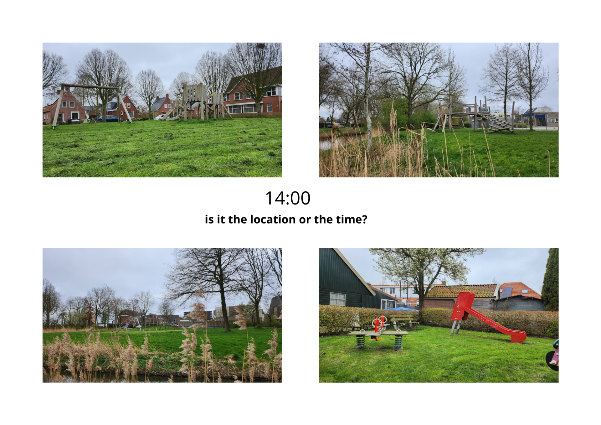
During this assignment, I had to illustrate a certain subject with four different photos. I chose to photograph playgrounds where young children can play. It was clear when I took these photos in the early afternoon that no children were using these spaces, nor were any elderly individuals. It raises questions whether it's due to the time or the location where these playgrounds are situated. By presenting these photos without context, everyone can interpret their own narrative. My intention was to prompt people to reflect on why there is no one visible in the photos.
Model Infrastructure Hoogkerk

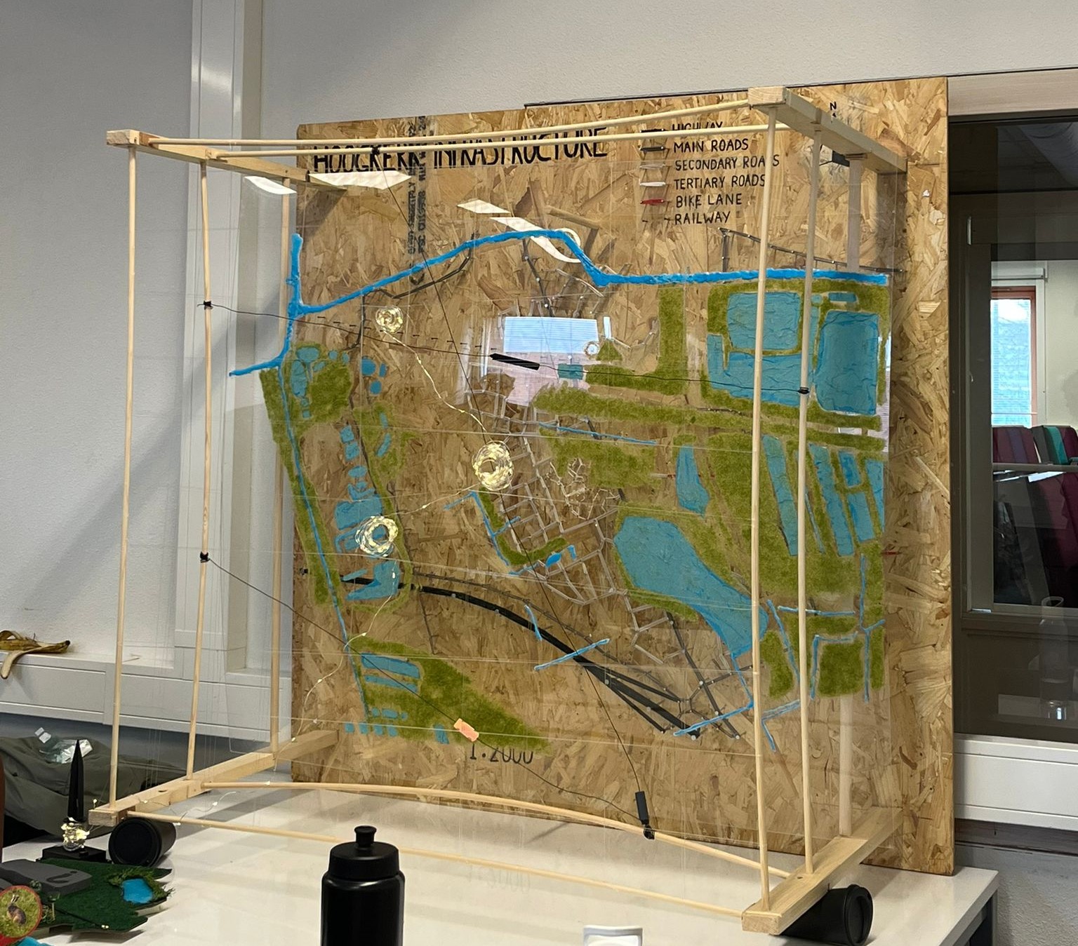
During the minor, my group "Blub" and I worked on designing a model that illustrates the infrastructure of Hoogkerk, with a subjective perspective. In the model, we incorporated several layers. The primary layer illustrated the current infrastructure of Hoogkerk, using different thicknesses of wire to represent main and secondary roads. The second layer represented, the water and green infrastructure to demonstrate how these two layers interconnect. The third layer showed the main routes for cars, buses, and trains and was also interactive. You could move these three modes of transportation back and forth on this layer. The final layer used light to indicate where the most activity occurs, representing the social infrastructure. By combining these layers, you get a complete picture of what the infrastructure looks like in Hoogkerk.